- Apr 9, 2022
- Philly Snow Removal
- Uncategorized
- 0 Comments
Do you plan on doing your own snow removal this year? Or are you a contractor looking for way to improve your snow removal process? Either way, below are some methods and ways that can improve the snow removal process.
Measuring your parking lot, driveway, or other area where you plan on performing snow removal and/or deicing.
Method 1
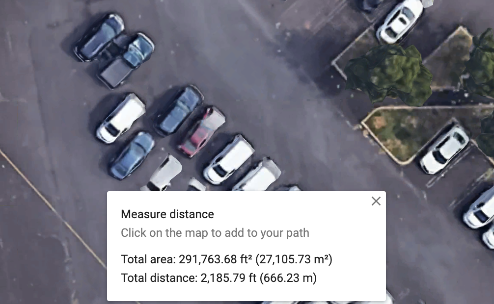
You can go to the location and measure by hand, or you can use a readily available, and free tool provided by google.
Heres how:
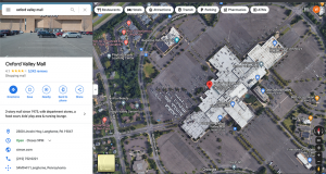
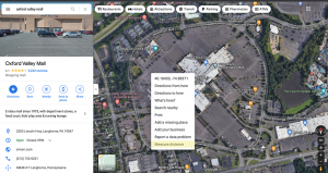
- Go to https://www.google.com/maps
- Enter the location address that has the area you need measurements for
- Click on the “Layers” box in the bottom left hand corner of the map and select “Satellite”
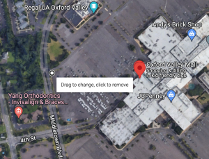
- Then, right click on the map and select “Measure distance”
- After you click “Measure distance,” a white dot will appear. Click on this dot and drag it to a starting location from where you want to start measuring. Keep in mind, you will be measuring area, so you will basically be creating a circumference area around the parts where you need to measure.
- Then, after you find a good spot for the first measurement dot, find the next part and just click, then another dot will appear and create a line.
- Continue to do this until you’ve surrounded the area you want to get the area measurement of. Keep in mind that it will only show you the area when the area is fully closed in, so make sure that your last dot connects to the first dot at the end.
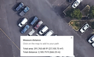
- Repeat this process for every part that you need the area of.
Method 2 – Aerial Drone Mapping
If you have an area that can be more complex, needs to be more accurate, has parts of the parking lot that need to be accurately viewed in high resolution, or if Google doesn’t have up to date images of your snow removal area, then this might be a better option.
Drone Aerial Mapping. There are Philadelphia Drone Companies that can accurately map out an area, in high definition, where you can see every pothole in the lot, every expansion joint, and ever part of any curbs that are already damaged for reference.
If you’re a contractor, property manager, or property owner, you can use this aerial mapping for right now and for future reference. You can keep track of any damage, any areas that need to be repaired and easily share the map and collaborate with others on your team, or with subcontractors.